Monday 29 June – big ascent into France
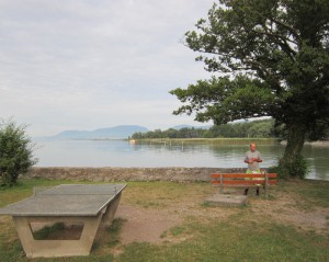
Today we did a big ascent over the mountains to get back into France, after much debate about which route we should take. But first breakfast at the lake….
Here is the route in detail as described by navigator Kris:
We cycled from Neuenburg / Neuchatel and started the ascent on Montagne du Droit using the existing road infrastructure with the intention to join the velo route at Boudevilliers. It was a steady steep climb with the cycling road markings on the side of the road appearing and disappearing. From time to time we had good views of the Alps.
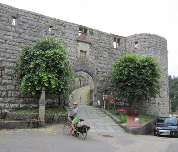
Valangin is a cute village with a castle and the cycling infrastructure improved from there on.
At Boudevilliers we followed the main road and the cycling arrows, and we soon found ourselves en route to Cernier. I assumed that I was still on the main velo ascent route. It gradually became clear that the velo route numbers can change course and sometimes even circle back. Anyway it seemed like a good route as it was taking us to the north of Chaux-de-Fonds.
The route had beautiful views over the valley of St Limier with the Alps as a backdrop. Unfortunately we were losing height at times and I suspected the velo route may take us to the Bieler See. So we took an ascent route around St-Martin. It was a quiet road with long up-hills, shaded by a tall pine forest.
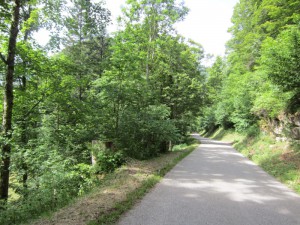
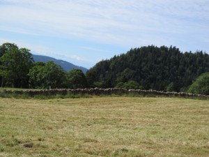
When we reached the top we had a bit of downhill and it became clear we will be negotiating a number of ridges. The countryside was beautiful with crisp clear colours and farming infrastructures clearly adopted for mountainous terrain. We saw a number of old farm walls built from rock.
We also saw saw two foxes along the way. From here onwards, interaction with locals was with few French words and hand waving.
At this stage we were cycling along roads that were not on my tourist map. We went down a ridge and began our ascent on the next ridge through a narrow road carved through mountain rock. After we reached the top of the hill, it became clear that we were opposite Renan (Renan was on the tourist map). Renan was at the bottom of the main plateau, along the French border and we were separated from it by a valley. We started making our way down the valley and there were lots of interesting small roads that included a big bear statue and cattle crossings. The roads to Renan was getting worse, so we went sideways to Sonvillier. From here we had a gentle ascent to St-Imier where we bought pastry from the local supermarket bakery to keep our energy up. We thought we had a short ascent to the plateau from here. We followed the main road up the mountain that was sign-posted to Saignelegier.
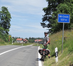
This turned into a long and boring ascent with road traffic that eventually delivered us between Le Breuleux and Tramelan (we peaked at 1227 meters above sea level).
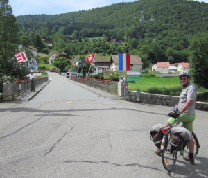
From here we went up and down hills until we landed in Saignelegier. We started the descent to the French border with a refreshing 6km downhill run. From time to time we had beautiful glimpses of the border town Goumois at the bottom of the valley.
French border at Goumois:
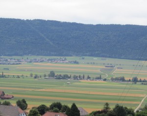
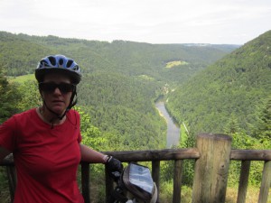
View from climb on the other side:
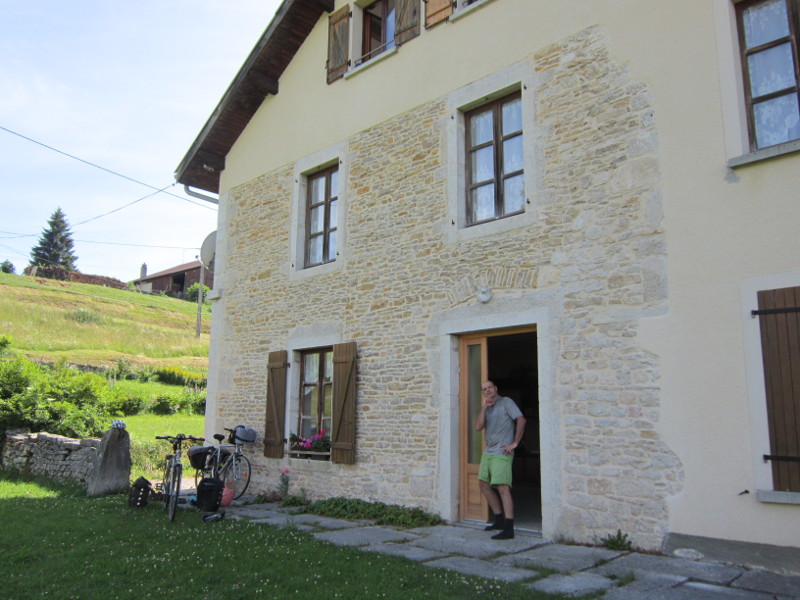
From the sleepy village we began our trip to find the usual reasonably-priced French accommodation. After a 7km uphill ride we found accommodation in a Gite in Fessevillers at around 4pm. It was amazingly cheap (cheaper than camping) and we stayed. We would have rode on if our legs were still willing, as it had no Wifi or access to wine or beer. The accommodation turned out to be very peaceful and spacious.
So the lack of proper maps and improvisation made the route interesting. We did 76km, and a lot of those kilometres were ascents, it was also a long and physically challenging day.